 vesseltracker.com
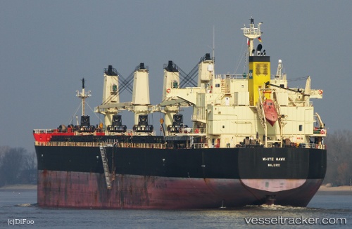
Vessel ARABICA IMO: 9460394, MMSI: 538012267 Bulk Carrier
UTC, -6.03996, 76.23951, course: 236, speed: 10.8
UTC, -6.24737, 75.97363, course: 231, speed: 11.2
2026-03-05 21:18:16 UTC, -6.39412, 75.78511, course: 236, speed: 11.2
Live Vessel ARABICA Analytics (details, animations, etc.)
Live AIS position: UTC. 205 nm E of Diego Garcia), updated 2026-03-05 21:18:16 UTC.Find the position of the vessel ARABICA on the map. The latter are known coordinates and path.
marine traffic ship tracker show on live map
The current position of vessel ARABICA is -6.39412 lat / 75.78511 lng. Updated: 2026-03-05 21:18:16 UTCCurrently sailing under the flag of Marshall Islands
Details:
Last coordinates of the vessel:
UTC, -5.82704, 76.52473, course: 232, speed: 11.1UTC, -6.03996, 76.23951, course: 236, speed: 10.8
UTC, -6.24737, 75.97363, course: 231, speed: 11.2
2026-03-05 21:18:16 UTC, -6.39412, 75.78511, course: 236, speed: 11.2